
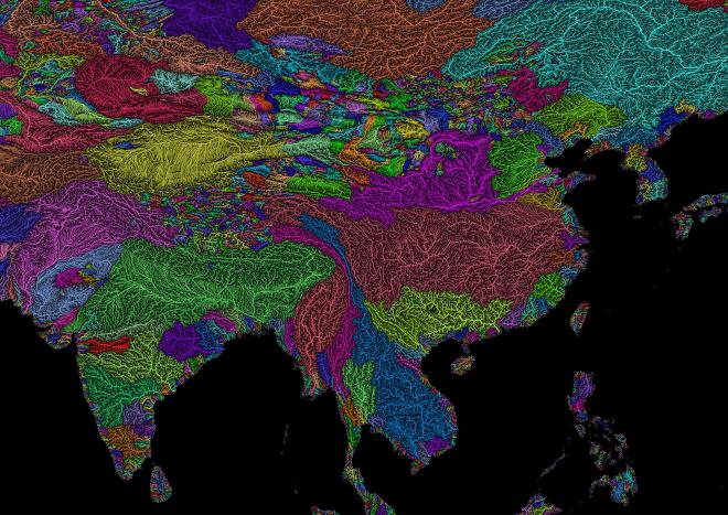

Original Description #
River basin maps showing all permanent and temporary streams and rivers in a given area. 100% scientifically accurate maps generated from datasets, transformed into art.
While our maps are always scientifically accurate, we think of them first and foremost as works of art. We generally use a colourful yet minimalistic style, so decided not to include legends on our original set of maps. However, our newest uploads have both titles and legends for those who look for a more classic approach.